Facilities, Supports and Resources
Laboratory Facilities and Equipment

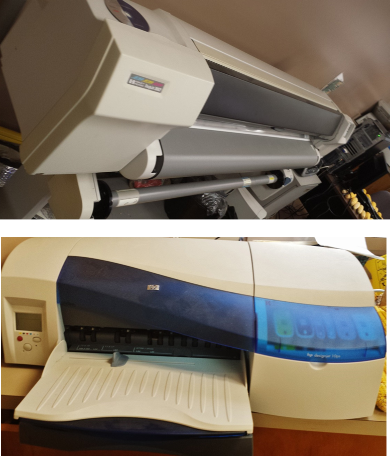
Several equipment, hardware and software resources are available for office and field work use. Hardware dedicated to LARSA includes:
- 5 High-performance workstations and high-storage computers with large disk space for archives;
- 2 General purpose research workstations; and
- 1 workstation server
- HP DesignJet 3800 CP scanner/printer
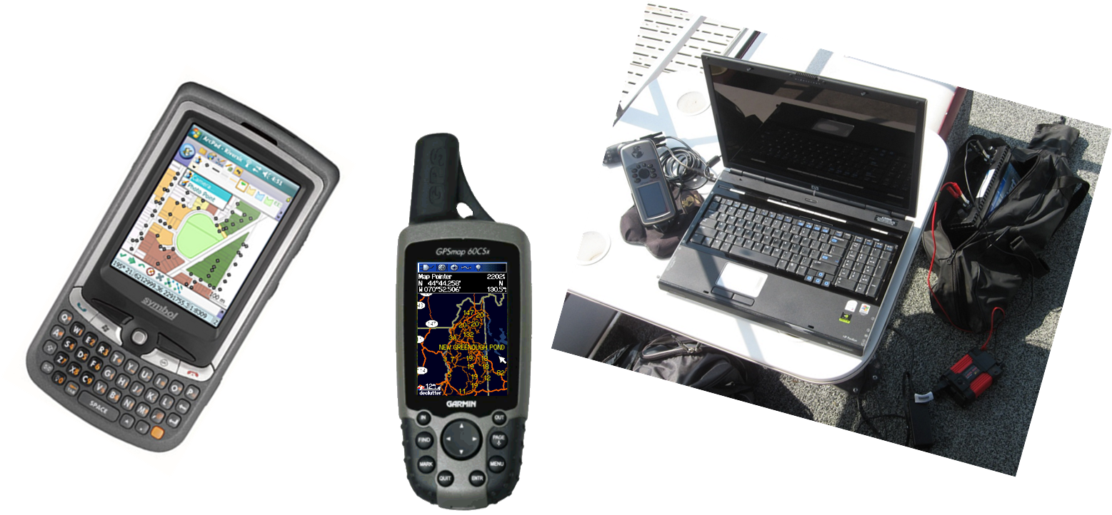
- Navigation and mapping hardware: Garmin GPS and Laptop computers

Software currently in use by the LARSA Laboratory includes:
-
-
-
-
-
- ESRI, ArcInfo workstation (v 8.2 on UNIX)
- ESRI, ArcGIS
- TAS,
- GEODA,
- SPSS
- SAS
- Various other software including Microsoft Office Professional suite of applications
-
-
-
-
Technical and Expert's Supports

- Map Creation/Analysis
- Data Generation, Editing and Transformation
- Remotely Sensed Data Analysis
- Spatial Analysis and Geostatistics
- Interactive Map Design
- Proposal Support
- Project Planning
- GIS Software installation
Data Resources
The LARSA continues to provide access to archived geodatabases; and technical support regarding the acquisition, handling, maintenance and processing the data. Examples of the archived data include:
- Land Use and Land Cover Data of Tennessee and North America
- Download landsat imagery from USGS global visualization viewer
- National and Regional Hydrographic Dataset
- Digital Elevation Models of Tennessee and North America at 3m, 10m, 30m and 60m resolutions
- PRISMA Spatial Climate Dataset for the Conterminous United States (raster at 800m grid and shapefile)
- Digital Orthophoto, census, hydrographic, crop, soils and watershed boundaries data of Tennessee and USA


